

-
Açıklama
Includes two large maps:
Ottoman geographical map (Ottoman Turkish)
100x70 cm
Map of Palestine (Ottoman Turkish)
100x70 cm
Special edition
“Palestine,” a name used in antiquity for the coastal area between Jaffa and Gaza, was passed down from the Greeks to the Romans and Byzantines. Its boundaries have expanded and contracted throughout history, and no definitive agreement has ever been reached on them. In any case, this geographical term has commonly referred to the region between the Mediterranean Sea to the west and the Jordan River and Dead Sea to the east.
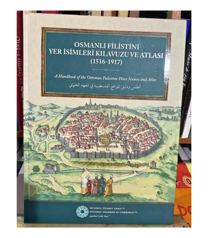
This book was prepared as a guide for researchers, drawing on the cadastral registers kept in the early years after Palestine came under Ottoman rule (16th century), records from the 1872 Yearbook of Syria, and other documents. Whether or not they fall within the borders of present-day Palestine, the names of places such as sancaks, kazas, and nahiyes were identified, verified against Ottoman documents and various maps, and differences highlighted, thereby enabling comparisons between the 16th and 19th centuries.
Prepared by: Zekeriya Kurşun, Abdülkadir Steih, Ali İhsan Aydın
Publication languages: Turkish, English, and Arabic
239 pages: illustrations, tables, maps; 32 cm. + 2 maps.
Publication date: 2020 - 1
Published by: Istanbul Chamber of Commerce - Presidency for Turks Abroad and Related Communities - Palestine Research, Development and Solidarity Association